
Our Services
Proposed Subdivision Assessment
A subdivision assessment proves each proposed rural lot can treat and disperse its own sewage — the wastewater evidence an approving officer and Island Health require before signing off. Owners, developers, and Realtors need it early. Pacific Rim Wastewater Solutions digs and logs test pits, maps primary and reserve dispersal areas per lot, and provides the sealed professional opinion.
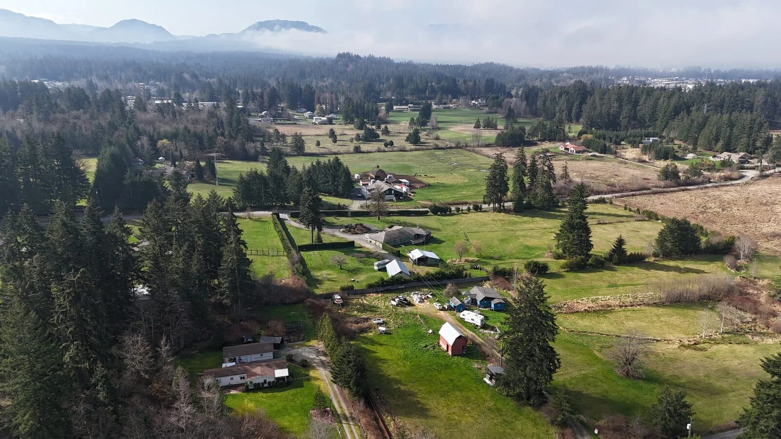
Before a rural subdivision is approved, you must prove each new lot can safely handle its own wastewater — a primary and a reserve dispersal area, on suitable soil, meeting every setback. I assess whether your land can support subdivision from a wastewater perspective and prepare the professional documentation regulators require.
For property owners, developers, and Realtors pursuing lot subdivision anywhere on Central Vancouver Island.
Personal guidance through the process
The subdivision assessment is a not-so-straightforward process involving the regional district, MOTI, and Island Health. I lay out a clear path toward approval so you know what's required, in what order, before you spend serious money.
Feasibility studies
Field-verified assessment of whether your land is suitable for subdivision from a wastewater management perspective: test pit excavation, constant head permeameter testing, mapping of soil depth and percolation rates, seasonal high water table, slope, and the vertical separation each lot must provide.
Design solutions
Tailored wastewater layouts for the proposed lots — primary and reserve dispersal areas for each — configured to SPM standards and local setback rules (30 m from wells and permanent water bodies, 15 m from intermittent streams, 3 m from property lines and buildings).
Regulatory compliance and professional opinion
As a Professional Geoscientist I can provide the sealed professional opinion regulators rely on — including, where the evidence supports it, opinions on deviations such as lots below the typical 1.0 ha minimum for private water supply, backed by soil and hydrogeology data.
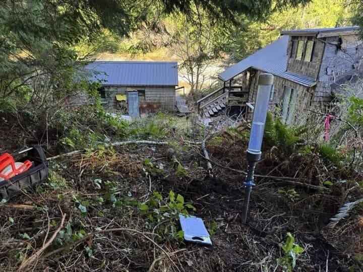
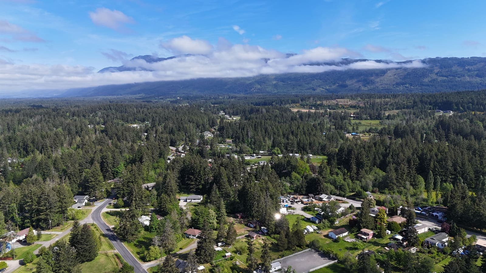
What does this look like in the field?
Photographs from real Vancouver Island projects. Client identifying details are deliberately kept out of frame — see project case studies for the full write-ups.
Frequently asked questions
Is my property sub-dividable?
It depends on soil, water table, setbacks, and lot geometry — and it's knowable before you commit. A feasibility assessment answers the wastewater question early, which is usually the make-or-break constraint for rural subdivision.
What lot size do I need?
Typically 1.0 ha minimum for lots on private wells and 0.2 ha for lots on a water supply system — but a professional assessment can support justified deviations where soil conditions protect the receiving environment.
What does Island Health require as proof of onsite sewerage feasibility?
Evidence, gathered in the field, that every proposed lot has both a primary and a reserve dispersal area able to handle a typical dwelling's design flow. In practice that means observation pits and percolation or permeameter testing in each area, logged soils and depth to restrictive layers or water table, slope, and a plot plan showing test locations and all setbacks — submitted on Island Health's subdivision application and site assessment forms by an Authorized Person.
What does a subdivision assessment cost, and what moves the price?
The main driver is lot count — each proposed parcel needs its own primary and reserve area tested, so a two-lot split costs far less than an eight-lot plan. After that: excavator access and mobilization, terrain and soil variability, whether marginal soils force extra pits, and whether the file needs a hydrogeological opinion to support smaller lots or reduced setbacks. I scope it after seeing the plan.
Do I need a P.Geo., or can a ROWP do this?
A ROWP can perform many subdivision site assessments. A professional becomes necessary when the file needs more than a soils log — supporting lots below typical minimum sizes, justifying reduced setbacks, addressing groundwater or breakout risk, or answering a hydrogeological question from the approving officer. Because those questions are common on Island terrain, a P.Geo. assessment often avoids a second round of work.
How long does it take, and when should I start?
Start before you commission a survey plan. Fieldwork is usually a day or two per site depending on lot count, with reporting to follow, but scheduling depends on excavator availability and ground conditions — and on marginal sites the most defensible water-table observations come during the wet season. Assessing early means lot lines get drawn around the good ground rather than fighting it.
What if one of my proposed lots doesn't pass?
That's usually fixable, and much cheaper to find out now. Options include redrawing lot lines so each parcel captures workable ground, reducing the number of lots, relocating building envelopes, or designing a higher treatment type that needs less dispersal area. If the land genuinely can't support the plan, you learn that before spending on survey, legal, and application fees.
How does this fit with the approving officer and the regional district?
The subdivision approval itself comes from the approving officer — the provincial transportation ministry (MOTI) for most rural Island parcels, or the local government where it has that authority. Health approval for sewerage feasibility is one referral within that process, alongside zoning, access, and water. The wastewater answer is often the binding constraint, which is why it's worth resolving first.
Related reading: Is My Property Sub-dividable? Septic Requirements for Lot Subdivision
Thinking about subdividing?
Send me your property details for an honest read on feasibility before you engage surveyors and lawyers.